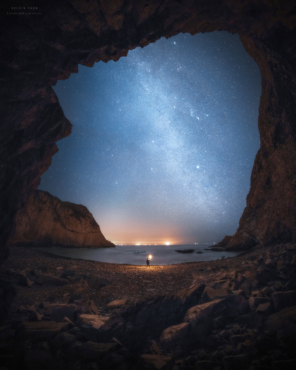
A good first stop
In 2011, the park was included in UNESCO's Global Geopark Network for its diverse volcanic rock formations. The best way
to explore the many islands with their different erosion tracks is by boat and on foot. A good first stop is the Volcano
Discovery Centre on Sai Kung Promenade. Here visitors can find out about the best tours and the many different rock
formations.
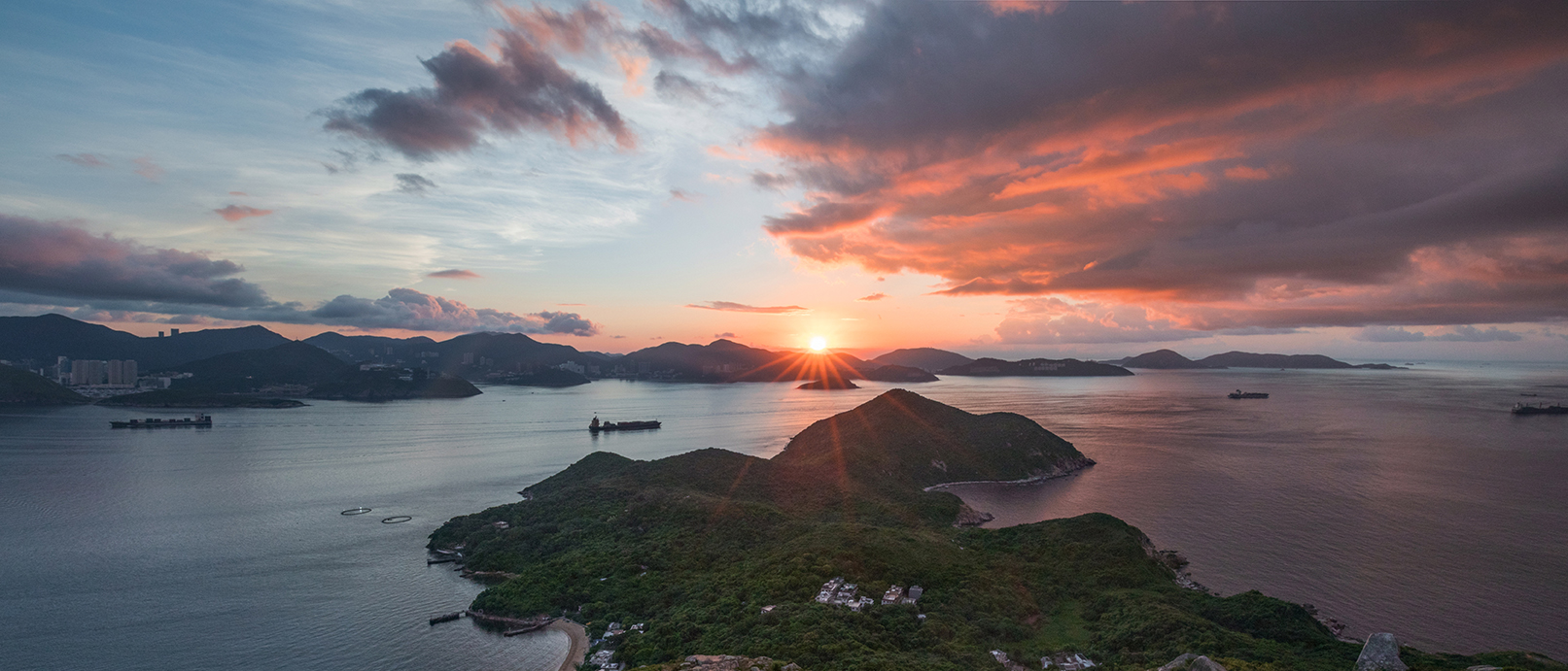
On High Island at the East Dam of High Island Reservoir, the unique hexagonal volcanic fissures are found along the
coast. The High Island Geo-Hiking Trail passes other geological features. Also worth seeing are the eroding landscapes
of Tai Long Wan.
Cliffs and Rocks
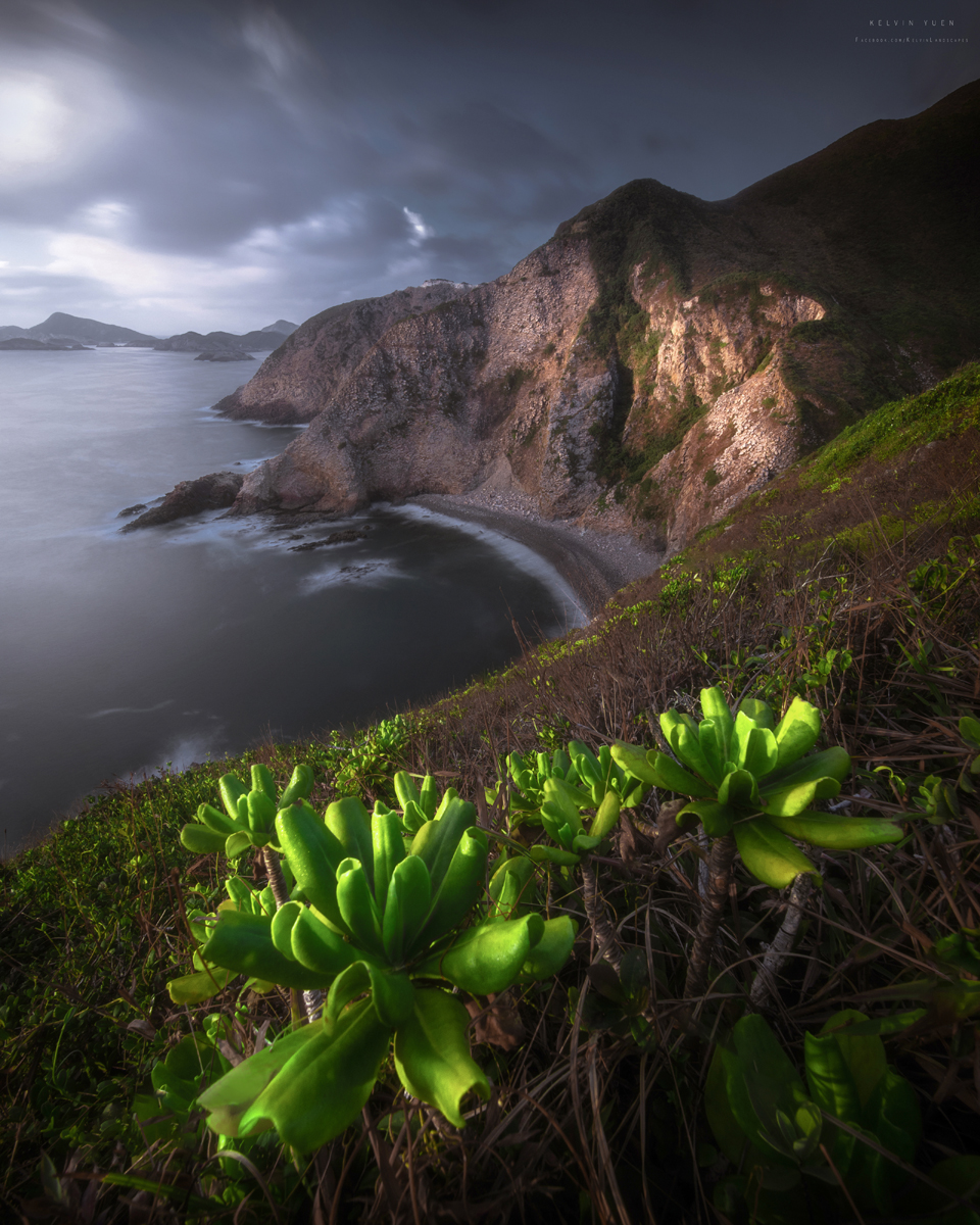
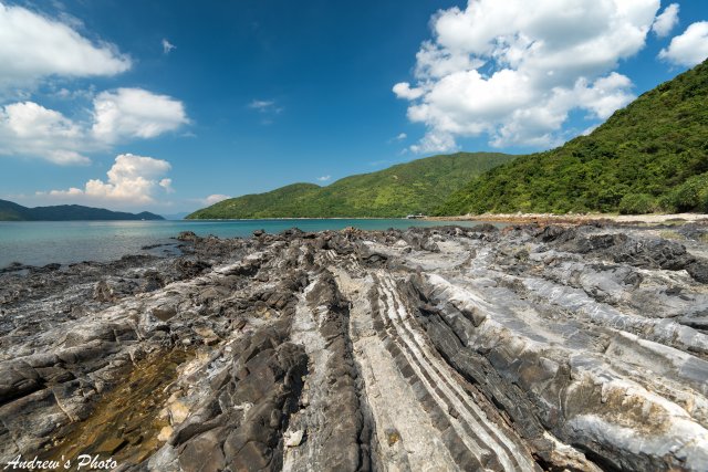
On the western edge of Sai Kung, igneous rocks characterize Sharp Island. A sedimentary coastal landscape with a nearly
250 sandbar connects the island with neighboring Kiu Tau Island. At low tide, this creates a temporary bridge.
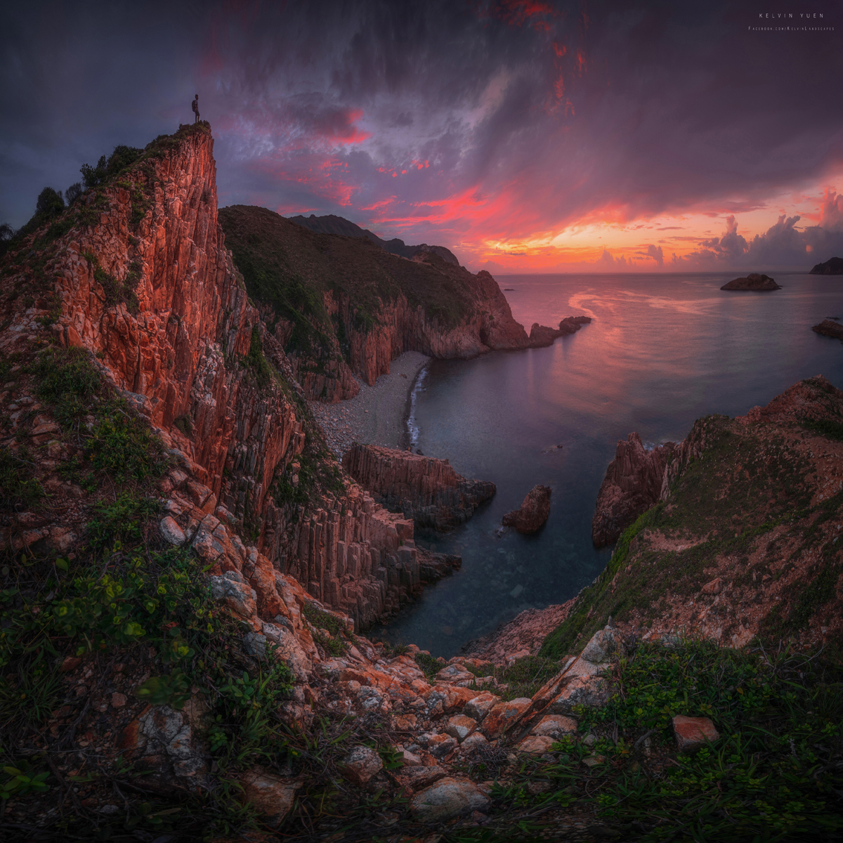
The Ung Kong Group consists of Bluff Island, Wang Chau Island and Basalt Island. The forces of sea and wind have formed
numerous steep cliffs and sea arks.
Several small rocky islands
The Ninepin Group consists of several small rocky islands. North Ninepin Island has the most impressive landforms. Here,
too, are the distinctive hexagonal rock crevices formed by millions of years of rock abrasion and erosion. At Double Haven, a rising sea level flooded the river valleys some 6,000 to 8,000 years ago. Indented coastlines with
headlands and bays formed. Today's mountains and islands were already formed by volcanic eruptions about 160 million
years ago, when lava and volcanic ash formed new rock layers. Later, rivers of sand and stone mixture flowed down from
the high mountains and formed the distinctive coastal area.
A red-colored landscape
The crescent-shaped Tung Ping Chau, Hong Kong's easternmost island, is also known for its spectacular rock formations.
At 55 million years old, they are the youngest in the Special Administrative Region. With fine layers of limestone and
mudstone, they form an eerie-looking landscape. Notable geological sites include Lung Lok Shui, Kang Lau Shek and Cham
Keng Chau.
Port Island features China Danxia, a red-colored landscape typical of China. Thanks to the abundant iron oxide found
here, the limestones and sandstones glow a rich rusty red. The cape of Bluff Head was formed by the sedimentation at
river mouths about 400 million years ago and was pushed up under the influence of geological movements. Weathering and
coastal erosion created one of Hong Kong's most famous rocks: the Devils Fist. The oldest rock formations in Hong Kong
are found along the coast from Tolo Channel.
Lai Chi Chong and Tap Mun in Sai Kung
hike along lush green island trails, admire geological wonders and enjoy fresh seafood
Nestled in the northeastern New Territories, the mountainous Sai Kung West Country Park and nearby islands around Tolo
Channel offer wonderful outdoor experiences, thanks to great hiking trails and reliable kaito ferry services. They are
part of the Hong Kong UNESCO Global Geopark’s internationally significant geological sites and landscapes, as well as
protected environmental sites.
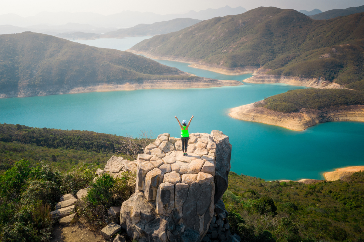
The 3,000-hectare country park and islands are also home to picturesque rolling hills, plateaus, and many old rural
settlements bordered by feng shui woods. To explore the beautiful nature and the rich culture and history of the area,
start with a hike from the Hakka village of Pak Sha O to Lai Chi Chong, a geosite famous for spectacular rock formations
— and Instagrammable photo opportunities. Then, hop on a kaito to Tap Mun (Grass Island), home to a peaceful fishing
village with seafood restaurants that offer a taste of its fine culinary culture.